
Address: Marquette Mountain 4501 M-553 Marquette, MI 49855
Countie(s) trail is located in: Marquette
Trail Type(s): Downhill Skiing <> Mountain Biking <> Snowboarding
Trail Measurement: 25 Runs (1.25 Miles)
If you are at the trail and this trail needs the latitude and longitude please click the link below and add it to the Add/Edit Trail Form to give us the information.
Click to view your current location on a map.
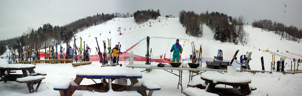
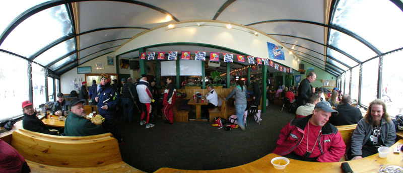
Marquette Mountain is a winter sports area for skiing and snow boarding, located within city limits a few miles south of downtown Marquette, Michigan, the major city in the state’s Upper Peninsula. In the summer, Marquette Mountain offers activities such as mountain biking, and volleyball. The base area’s parking lot is adjacent to highway M-553.
Popular from the start, the ski area opened in late 1957. It was originally known as Cliffs Ridge, as it operated on land leased from the Cleveland-Cliffs Iron Company of Cleveland, Ohio. The first chairlift, a Riblet double, was installed on the skier’s right side of Rocket Run in the fall of 1972. Previously, there were 2 T-bars (the original Constam on the skier’s left of Rocket and a newer Hall Ski-Lift on the skier’s left of Snowfield) and several rope tows. The ski area was renamed “Marquette Mountain” in 1982.
Marquette Mountain is host to alpine race events for numerous clubs, as well as their own race program. They also host NASTAR races.
The hill has a summit elevation of 1,257 ft (383 m) above sea level and a vertical drop of 457 ft (139 m). It has three chairlifts and a rope tow, snowmaking, night skiing, and receives an average of 210 in (530 cm) of snowfall annually, the grateful recipient of lake effect snow from nearby Lake Superior, prominently visible to the north and northeast. The shore of the lake’s Marquette Bay is just two miles (3 km) to the northeast. Ten miles (16 km) to the south is the extensive runway of the county’s Sawyer International Airport; it opened in 1999 on the site of the former K. I. Sawyer Air Force Base, which closed in 1995.
The National Ski Hall of Fame is in Ishpeming, about twelve miles (20 km) west of Marquette.
If you have information about this trail please fill out the Add/Edit Trail form.
References and More Info
- Compass Latitude: 46°30’30.0″N
- Compass Longitude: 87°25’12.0″W
- Numeric Latitude: 46.508333
- Numeric Longitude: ‘-87.42
- Elevation in Feet: 800 to 1,257
- Elevation in Meters: 244 to 833
- Trail Measurement: 25 Runs (1.25 Miles)
Leave a Reply