
Address: Waterloo State Recreation Area Grass Lake, MI 49240
Countie(s) trail is located in: Jackson <> Washtenaw
Trail Type(s): Camping <> Cross Country Skiing <> Fishing <> Hiking <> Horseback/Equestrian <> Leashed Dogs Allowed <> Snowmobile <> Swimming <> Canoe/Kayak
Trail Measurement: 20,500 Acres
If you are at the trail and this trail needs the latitude and longitude please click the link below and add it to the Add/Edit Trail Form to give us the information.
Click to view your current location on a map.
Recreation Passport Required: Yes
Approximate Size: 20500 (Acres)
The park has 4 campgrounds, beaches, picnic areas, 11 fishing lakes, nature trails, 47 miles of hiking trails, cabins, equestrian trails, and the Gerald Eddy Discovery Center.
Waterloo Recreation Area is the largest park in the Lower Peninsula. At more than 20,000 acres, the park boasts two modern campgrounds, a rustic campground, an equestrian campground, a swimming beach, several picnic sites, 11 excellent fishing lakes, eight boat launches, 12 miles of interpretive nature trails, 47 miles of hiking trails, three rustic cabins, numerous equestrian trails, and the Gerald E. Eddy Discovery Center.
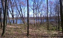
Waterloo State Recreation Area is the third-largest park in Michigan, encompassing over 21,000 acres (85 km2) of forest, lakes, and wetlands. Located in northeast Jackson County and parts of Washtenaw County, the park is the largest in the Lower Peninsula of Michigan and features 4 campgrounds, 11 lakes, a nature center, and over 50 miles (80 km) of trails – some for horses, bicycles, hiking, and cross-country skiing. Waterloo SRA includes the Black Spruce Bog Natural Area, a National Natural Landmark, and borders the 11,000-acre (45 km2) Pinckney Recreation Area on the east and the 950-acre (3.8 km2) Phyllis Haehnle Memorial Audubon Sanctuary to the west. The land preserved by the park is not all contiguous and numerous private landholdings and roads run through the parking area. The area is characterized by moraines, kettle lakes, swamps, and bogs left by retreating glaciers after the last ice age. The park was created by the federal government during the Great Depression and is long-term leased to the state.
Facilities and activities
The park offers over 434 campsites that are available in two modern campgrounds, one equestrian, and one rustic campground. Also available to visitors are thirteen rustic cabins. The park boasts a swimming beach, several picnic sites, 11 fishing lakes, and eight boat launches. Hunting for small game and deer is allowed in most of the park, except for established safety zones around campgrounds and park facilities.
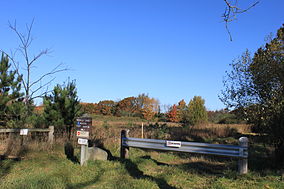
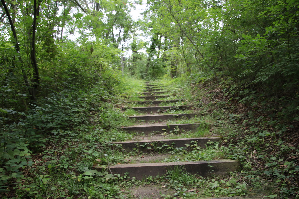
The park offers extensive trails that wind through the vast landscape and around the eleven lakes that exist within the park’s confines – 12 miles (19 km) of interpretive nature trails, 47 miles (76 km) of hiking trails, and numerous equestrian trails. The 36-mile (58 km) Waterloo-Pinckney Trail runs across the park and into the adjoining 11,000-acre (45 km2) Pinckney Recreation Area.
The lakes host a variety of fish species which include Largemouth Bass, Smallmouth Bass, Bluegill, Sunfish, Catfish, Northern Pike, and others. Crooked Lake, Clear Lake, Little Portage Lake, Mill Lake, Sugarloaf Lake, Doyle Lake, Merkle Lake, Mud Lake, and the Winnewana Impoundment are among the eleven bodies of water found in the park. Clear Lake, Doyle Lake, Little Portage Lake, and Merkle Lake are accessible by foot only by crossing state land. Fishing piers are located on Big Portage and Crooked lakes. Sugarloaf Lake has state-owned access limited to campers and a privately owned access site. Public boat launches are located on the following lakes: Big Portage, Cedar, Green, Crooked, Mill, Mud, and Walsh. The Winnewana Impoundment also provides a boat landing. The launch site at Big Portage Lake meets ADAAG standards for universal accessibility. Boats may be rented by visitors at Big Portage Lake from the park if needed.
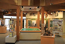
Gerald E. Eddy Discovery Center
The Gerald E. Eddy Discovery Center features exhibits on the geology and natural habitats of Waterloo State Recreation Area, both in pre-settler times and today. Another display shows fluted spear points used by the Paleo-Indian hunters and other cultural history artifacts. There is an auditorium, interactive exhibits, and computer games. The center hosts special events and programs for school groups.
Trails
Waterloo-Discovery Center Trail Trail Length in Miles: 14.00 (Miles)
Cross Country Skiing, Hiking
Waterloo-Dry Marsh Trail Length in Miles: 0.50 (Miles)
Cross Country Skiing, Hiking
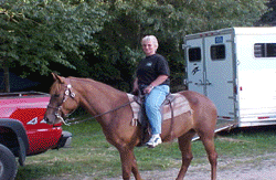
Waterloo-Equestrian Trails Trail Length in Miles: 12.00 (Miles)
Equestrian
Waterloo-Hickory Hills Trail Length in Miles: 1.00 (Miles)
Cross Country Skiing, Hiking
Waterloo-Pinckney Trail Length: 22.00 (Miles)
Cross Country Skiing, Hiking
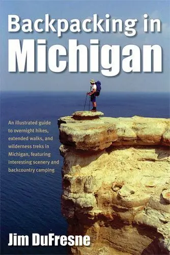
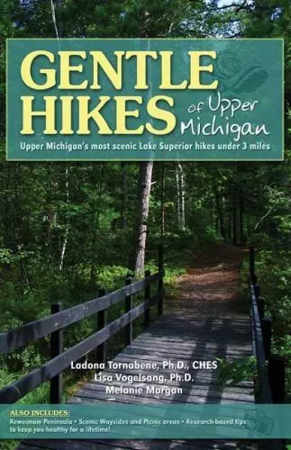
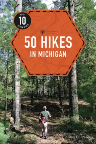
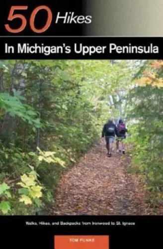
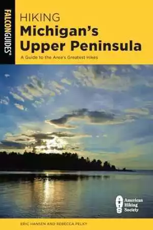
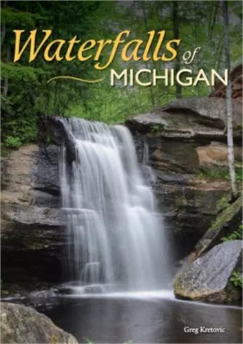
Hiking in Michigan Books
Campgrounds
Waterloo Green Lake-Rustic
25 site(s)
Boat Launch, Fishing, Hiking, Rustic Site, Vault Toilet
Waterloo Portage Lake-Modern
136 site(s) (off-season)
Electrical Service, Modern Restrooms, Some Campsites with 50 amp Service, Swimming, Winter Camping
Waterloo Sugarloaf-Modern
164 site(s)
Boat Launch, Electrical Service, Modern Restrooms, Playground, Some Campsites with 50 amp Service, Swimming
Waterloo-Equestrian
25 site(s)
Equestrian, Equestrian Camping, Rustic Site, Vault Toilet
Waterloo-Green Lake Yurt
1 site(s)
Hiking, Hunting
Waterloo-Group Use Area
5 site(s), Contact the park
Playground, Rustic Site, Swimming, Vault Toilet
Waterloo-Portage Lake Camper Cabin
1 site(s) (off-season)
Cabins & Lodges, Electrical Service
Waterloo-Rustic Cabins
3 site(s)
Cabins & Lodges, Vault Toilet
If you have information about this trail please fill out the Add/Edit Trail form.
References and More Info
- Compass Latitude: 42°18’57.7″N
- Compass Longitude: 84°11’46.5″W
- Numeric Latitude: 42.316024
- Numeric Longitude: ‘-84.196256
- Elevation in Feet:
- Elevation in Meters:
- Trail Measurement: 20,500 Acres
Leave a Reply