
Tag: Hiking
-

OWA Trail
Address: 45.05773,-85.58194 Countie(s) trail is located in: Leelanau Trail Type(s): Hiking Trail Measurement: Trail: Over 1 Mile & Area: 110 Acres If you are at the trail and this trail needs the latitude and longitude please click the link below and add it to the Add/Edit Trail Form to give us the information. Click to…
-
Ox Bow Ski Trail
Address: 46.5013889,-89.9944444 Countie(s) trail is located in: Gogebic Trail Type(s): Downhill Skiing Trail Measurement: If you are at the trail and this trail needs the latitude and longitude please click the link below and add it to the Add/Edit Trail Form to give us the information. Click to view your current location on a map.…
-
Paint Creek Trail
Address: 42.72936,-83.1596 Countie(s) trail is located in: Oakland Trail Type(s): Cross Country Skiing <> Dog Mushing <> Fishing <> Handicap Accessible <> Hiking <> Horseback/Equestrian <> Inline Skating <> Leashed Dogs Allowed <> Mountain Biking <> Road Biking <> Snowshoe Trail Measurement: 8.9 Miles If you are at the trail and this trail needs the…
-
Ogemaw Hills Pathway
Address: Ogemaw Hills Pathway 651 S Fairview Rd West Branch, MI 48661 Countie(s) trail is located in: Ogemaw Trail Type(s): Cross Country Skiing <> Hiking <> Road Biking Trail Measurement: 13.6 Miles If you are at the trail and this trail needs the latitude and longitude please click the link below and add it to…
-
Old Baldy
Address: 44.525901,-86.222967 Countie(s) trail is located in: Benzie Trail Type(s): Cross Country Skiing <> Hiking <> Snowshoe Trail Measurement: 1.8 to 3.2 Miles If you are at the trail and this trail needs the latitude and longitude please click the link below and add it to the Add/Edit Trail Form to give us the information.…
-
Old Flambeau Ski Trail
Address: 46.5055556,-89.9666667 Countie(s) trail is located in: Gogebic Trail Type(s): Cross Country Skiing <> Hiking Trail Measurement: If you are at the trail and this trail needs the latitude and longitude please click the link below and add it to the Add/Edit Trail Form to give us the information. Click to view your current location…
-
Old Indian Trail
Address: 43.8933414,-86.1614624 Countie(s) trail is located in: Mason Trail Type(s): Cross Country Skiing <> Hiking Trail Measurement: 4.5 Miles If you are at the trail and this trail needs the latitude and longitude please click the link below and add it to the Add/Edit Trail Form to give us the information. Click to view your…
-
Old Mission Point Park
Address: 44.987747,-85.479607 Countie(s) trail is located in: Grand Traverse Trail Type(s): Cross Country Skiing <> Hiking Trail Measurement: 7.5 Miles If you are at the trail and this trail needs the latitude and longitude please click the link below and add it to the Add/Edit Trail Form to give us the information. Click to view…
-
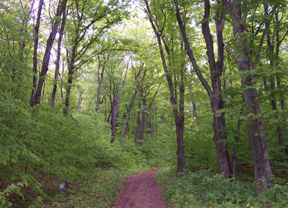
North Manitou Island
Trail Map Address: North Manitou Island Leland, MICountie(s) trail is located in: LeelanauTrail Type(s): Camping <> HikingTrail Measurement: 27 AcresIf you are at the trail and this trail needs the latitude and longitude please click the link below and add it to the Add/Edit Trail Form to give us the information. Click to view your…
-
North McLouth Ski Trail
Address: 45.1625,-84.935 Countie(s) trail is located in: Charlevoix Trail Type(s): Downhill Skiing Trail Measurement: If you are at the trail and this trail needs the latitude and longitude please click the link below and add it to the Add/Edit Trail Form to give us the information. Click to view your current location on a map.…