Address: 43.611989, -84.248087
Countie(s) trail is located in: Isabella <> Midland
Trail Type(s): Hiking <> Inline Skating <> Road Biking
Trail Measurement: 27.5 Miles
If you are at the trail and this trail needs the latitude and longitude please click the link below and add it to the Add/Edit Trail Form to give us the information.
Click to view your current location on a map.

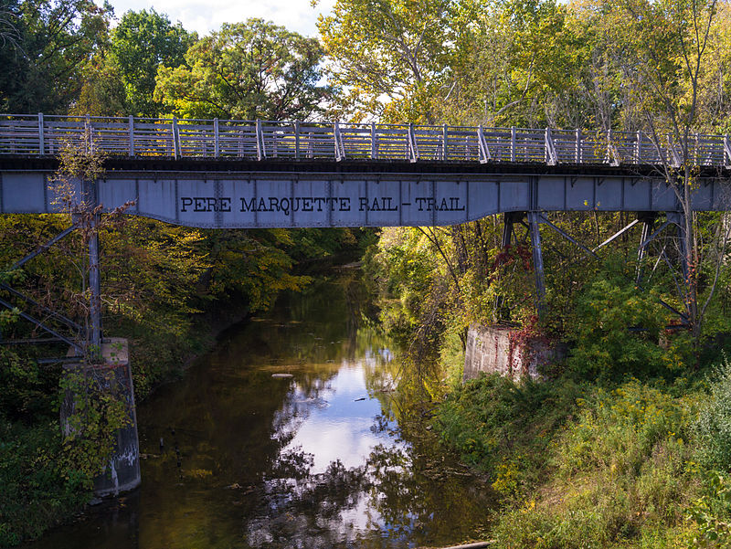
Pere Marquette Rail-Trail
The Pere Marquette Rail-Trail (PMRT) is a rail-trail in Michigan occupying a 28-mile (45 km) abandoned CSX railroad corridor in Midland County and Isabella County that was once part of the Flint and Pere Marquette Railroad. In 1874, the tracks stretched from Ludington to Flint, transporting supplies to the timber industry and lumber/timber to southern Michigan’s mills. It is a Michigan Rails to Trails Conservancy Hall of Fame trail.
The trail is paved with asphalt for hiking and bicycling and is up to 14 feet (4.3 m) wide. The PMRT should not be confused with the Pere Marquette State Trail.
History
The trail is named after the Flint and Pere Marquette Railroad, named after Jacques Marquette, a French Jesuit missionary who founded Michigan’s first European settlement at Sault Ste. Marie. Père is the French word for father; ergo, Father Marquette.
The first portion of the trail opened in June 1993. This portion was almost wholly contained in the city of Midland, Michigan and started at The Tridge.
Future
The original plans for the rail trail called for extending it west to Ludington, Michigan where ferry service would provide access to Wisconsin.
Location: Clare, Isabella, and Midland Counties, Michigan
Trailheads: East: Midland, Michigan, and West: Loomis, Michigan
Use: Walking, running, biking, rollerblading
Hiking Details
Trail difficulty: Easy
Surface: Asphalt
Right of Way: Former CSX railroad
End Points:
- 43.611989, -84.248087
- 43.818766, -84.766372
References and More Info
- Wikipedia
- Image By O. David Redwine – Own work, CC BY-SA 3.0, https://commons.wikimedia.org/w/index.php?curid=21611437
- Compass Latitude: 43°36’43.2″N
- Compass Longitude: 84°14’53.1″W
- Numeric Latitude: 43.611989
- Numeric Longitude: ‘-84.248087
- Elevation in Feet:
- Elevation in Meters:
- Trail Measurement: 27.5 Miles
Leave a Reply