Address: 43.753664, -84.581575
Countie(s) trail is located in: Clare <> Isabella <> Midland
Trail Type(s): Horseback/Equestrian
Trail Measurement:
If you are at the trail and this trail needs the latitude and longitude please click the link below and add it to the Add/Edit Trail Form to give us the information.
Click to view your current location on a map.

End Points:
- 43.753664, -84.581575
- 43.711586, -84.490973
References and More Info
- Wikipedia
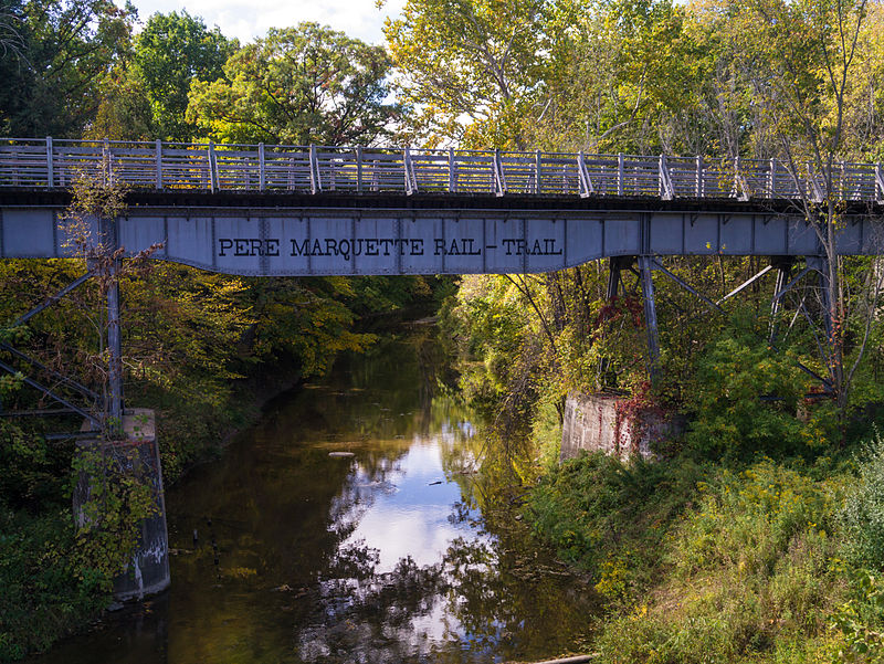
- Image By O. David Redwine – Own work, CC BY-SA 3.0, https://commons.wikimedia.org/w/index.php?curid=21611437
- Compass Latitude: 43°45’13.2″N
- Compass Longitude: 84°34’53.7″W
- Numeric Latitude: 43.753664
- Numeric Longitude: ‘-84.581575
- Elevation in Feet:
- Elevation in Meters:
- Trail Measurement:
Leave a Reply