Address: 42.750622, -84.555315
Countie(s) trail is located in: Ingham
Trail Type(s): Hiking <> Inline Skating <> Road Biking
Trail Measurement: 13 Miles
If you are at the trail and this trail needs the latitude and longitude please click the link below and add it to the Add/Edit Trail Form to give us the information.
Click to view your current location on a map.
End Points
- 42.715954, -84.512402
- 42.750622, -84.555315
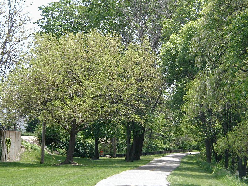
Lansing River Trail is a multiple-use, non-motorized trail approximately 13 miles (21 km) long. It runs along the Grand River and the Red Cedar River between Michigan State University and Dietrich Park in northern Lansing.
The trail has a western extension that begins where it splits off at River Point park just south of downtown Lansing and ends in Moores Park. The River Trail South stretches along Sycamore Creek from Potter Park to Maguire Park in southeast Lansing. The stretch from Hawk Island County Park to Maguire Park was completed in 2008.
The River Trail is also home to a number of special events, including the Common Ground Music Festival, the Annual Mayor’s Walk, the Michigan Run, the Capital City River Run, and a number of other city-sponsored activities.
The trail is currently being extended into Delhi Township to connect with an existing trail in Holt, as well as east to west across south Lansing.
References and More Info
- Wikipedia
- Compass Latitude: 42°45’02.2″N
- Compass Longitude: 84°33’19.1″ W
- Numeric Latitude: 42.750622
- Numeric Longitude: -84.555315
- Elevation in Feet:
- Elevation in Meters:
- Trail Measurement: 13 Miles
Leave a Reply