Address: 44.799212, -86.058091
Countie(s) trail is located in: Leelanau
Trail Type(s): Cross Country Skiing <> Hiking <> Snowshoe
Trail Measurement:
If you are at the trail and this trail needs the latitude and longitude please click the link below and add it to the Add/Edit Trail Form to give us the information.
Click to view your current location on a map.
End Points:
- 44.799212, -86.058091
- 44.796432, -86.074481
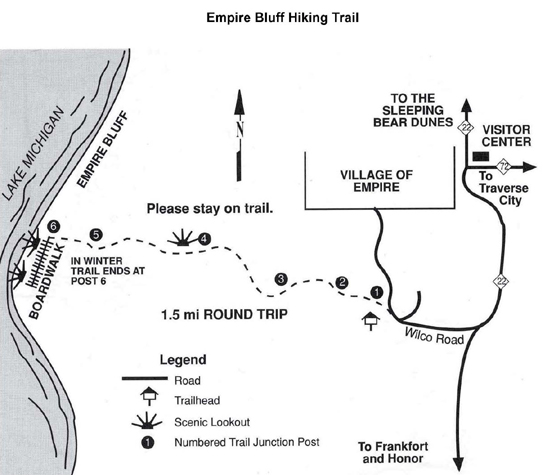
Distance: The round trip is 1.5 miles
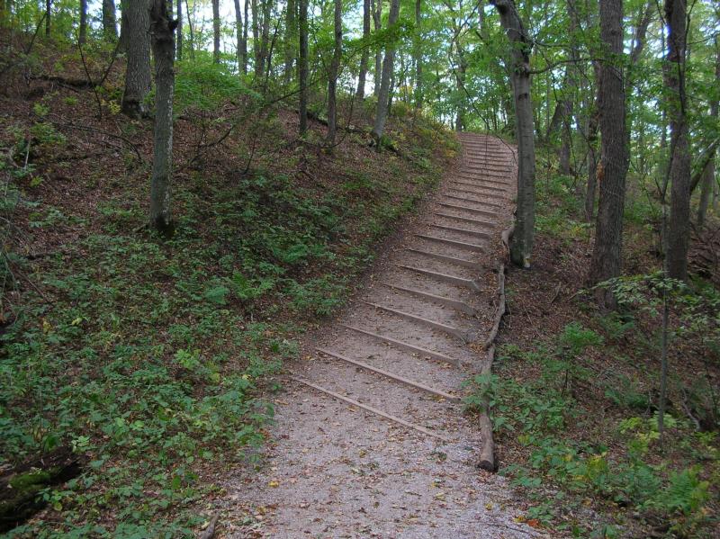
Terrain: Hilly
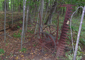
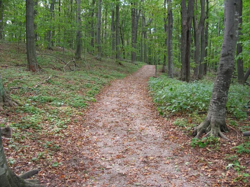
Vegetation: Beech-maple forest, fields, and dune plants
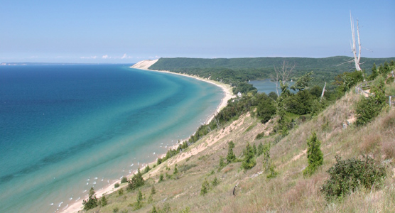
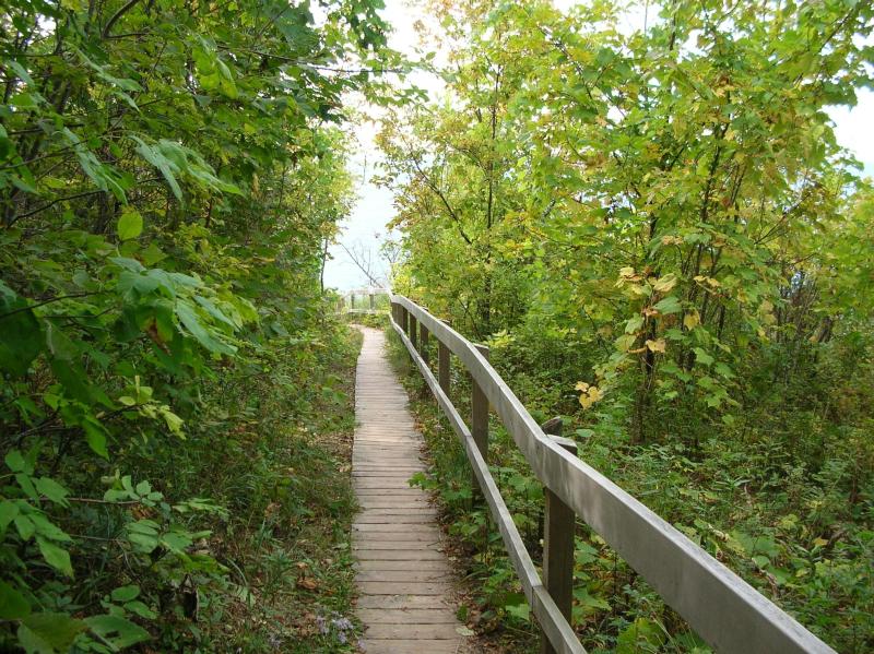
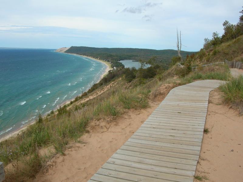
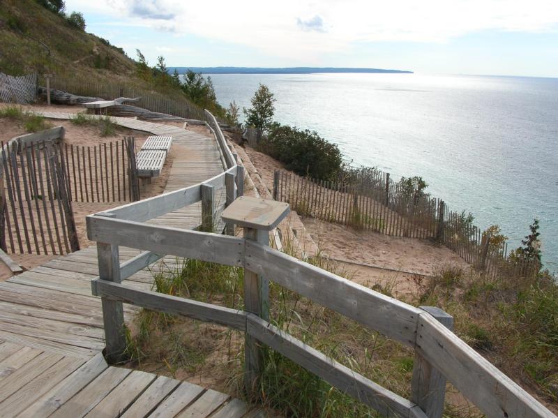
Comments: The trail leads to a high bluff overlooking Lake Michigan. A self-guided brochure is available at the trailhead. For your safety and to protect the environment: please do not descend the bluff. The trail ends at post #6 in winter because of hazardous ice and snow conditions on the boardwalk and bluffs.
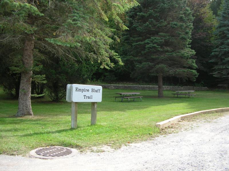
The view of the Lake Michigan shoreline and South Bar Lake from the Empire Bluff Overlook is spectacular. On a clear day, you will also see South Manitou Island. On this 1.5-mile round trip hike, you will also find 6 numbered posts that correspond to an interpretive description of the area along the trail. Be sure to pick up a trail map brochure at the trailhead and take it along with you on your hike.
If you have information about this trail please fill out the Add/Edit Trail form.
References and More Info
- Compass Latitude: 44°47’57.2″N
- Compass Longitude: 86°03’29.1″W
- Numeric Latitude: 44.799212
- Numeric Longitude: ‘-86.058091
- Elevation in Feet:
- Elevation in Meters:
- Trail Measurement:


Leave a Reply